
Project: Strengthening management of Payne’s Creek National Park through law enforcement, research and monitoring, education and outreach and communication.
Objective 1: To increase levels of compliance and resource protection within the park through law enforcement, fire management, summer camp and communication.
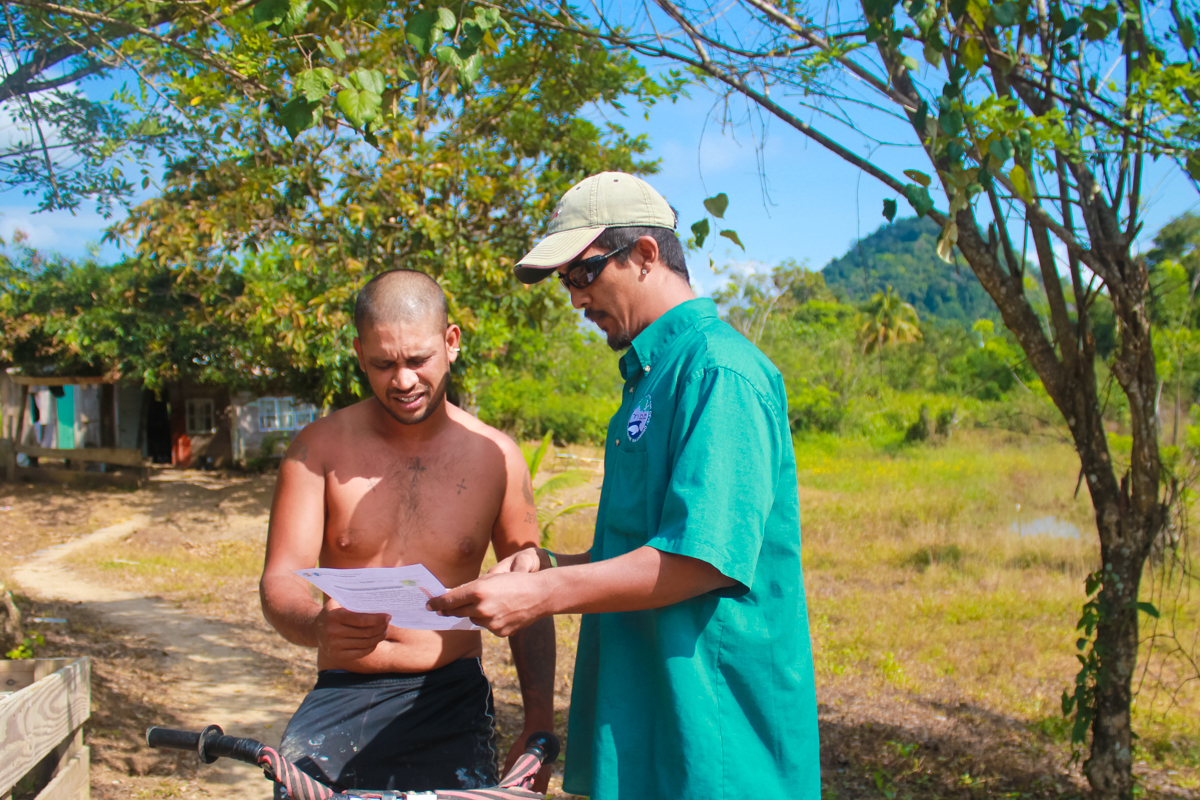
- Continue to protect the natural resources of the PCNP through law enforcement and the use of Spatial Monitoring And Reporting Tool (SMART).
- Maintain water-based patrols at >200/year and land-based patrols at >50/year
- Coordinate 2 Southern Belize Fire Working Group meetings.
- Conduct wildfire suppression as necessary
- Conduct prescribed burns in at least 4 burn units totalling approximately 6,000 acres inside PCNP
- Direct protection of yellow-headed parrot (YHP) nesting trees
- Protection of pine saplings from wild fires by creating fire passes
- Hold summer camp in 5 locations for 18 communities targeting 200 children
- Develop and air key messages on national radio and TV on Yellow-headed Parrot conservation, hunting laws, importance of prescribed and wild fires, ecological importance of PCNP and the financial importance of the park in providing clean air and water
Objective 2:To finance economic opportunities in 4 communities that create incentives for conservation.
- Finalize options for alternative micro-enterprises in 4 communities that depend on PCNP for their livelihoods
- Fund a portion of the start up costs for 4 micro-enterprises
- Provide mentorship to the four community-based groups in small business management
- Track and report on income and expenses of the businesses
- Monitor and evaluate the business plans implementation for the community-based businesses.
Objective 3: To create a structured research program that supports the management objectives of the park.
- Monitor short-term fire effects using photo-point assessment through collaboration with the University of Belize
- Collect monthly data on 2 biodiversity transects as part of a long-term monitoring program
- Monitor YHP artificial and natural nests in and around PCNP
- Remove at-risk YHP nestlings for captive rearing at Belize Bird Rescue and provide veterinary care and housing for young YHP upon their return to PCNP for further release.
- Conduct baseline assessment of migratory birds population and preferential habitats.
- Document the migration period for all migratory birds
- Document the effects of fire on migratory birds as it relates to their habitat, food, population, migration pattern etc.Payne’s Creek National Park Annual Report 2017